File:WOS MAP14 map.png
From DoomWiki.org
Revision as of 14:53, 23 March 2014 by AndroidAR (talk | contribs) (Generated with Omgifol's Drawmaps module.)

Size of this preview: 795 × 599 pixels. Other resolutions: 1,280 × 965 pixels | 1,496 × 1,128 pixels.
Original file (1,496 × 1,128 pixels, file size: 34 KB, MIME type: image/png)
Generated with Omgifol's Drawmaps module.
File history
Click on a date/time to view the file as it appeared at that time.
| Date/Time | Thumbnail | Dimensions | User | Comment | |
|---|---|---|---|---|---|
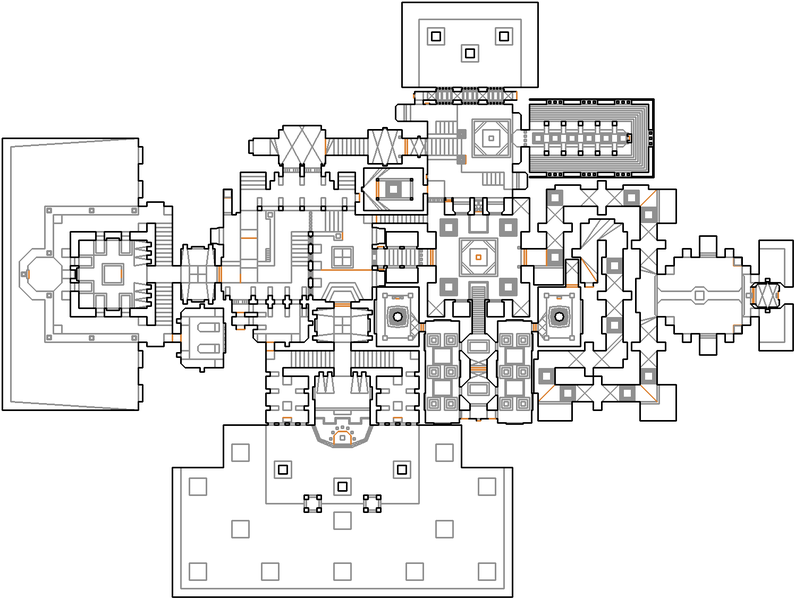
| current | 14:19, 29 November 2017 | | 1,496 × 1,128 (34 KB) | XymphBot (talk | contribs) | Map of MAP14: The Wasted Dens (Whispers of Satan). Generated with Omgifol drawmaps at scale 4.0 (monster caches and control sectors cropped). Reason: standardize cropping and scaling |
| 14:53, 23 March 2014 |  | 999 × 818 (25 KB) | AndroidAR (talk | contribs) | Generated with Omgifol's Drawmaps module. |
- You cannot overwrite this file.
File usage
The following page links to this file:


